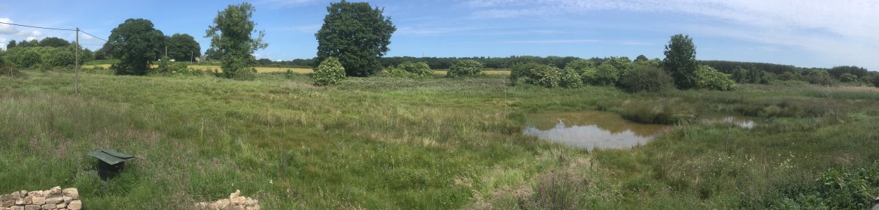

The nature reserve is located on marsh land surrounded on three side by arable farmland. The southern edge of the reserve falls away into wet woodland and eventually down to the river Wansbeck. The records I have managed to track down show that the land was owned by the Earl of Carlisle up to the mid 1800’s. He then split up his land and rented it out in smaller parcels to individual farmers. The first farmer to own the reserve land was called Clark hence the name Clark’s bog.
The historical maps show that in 1850 there was a dam and a mill at the southern end of the reserve. This disappears by the 1890’s.
During the Second World War Italian or Ukrainian POW’s (conflicting information as to which!) were brought in to try and drain the marsh, to enable the land to be used for growing food, they failed. Part of the land was also used to test experimental armoured vehicles as part of the D-Day preparations.
Post war, a temporary road made from railway sleepers was laid across the southern end of the marsh to enable sand extracted from a local field to be transported to the nearby railway siding. The remains of the sleeper road are still visible.
More recently there was part of the land near the entrance used for hay and sheep grazing and later horses were kept on the western edge until the tree plantation was initiated in early 2000.
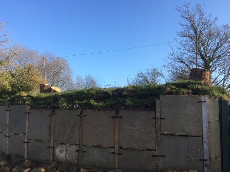
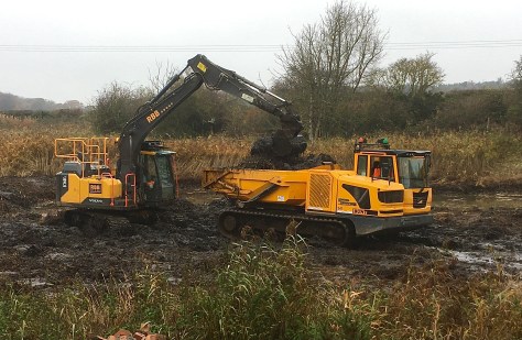
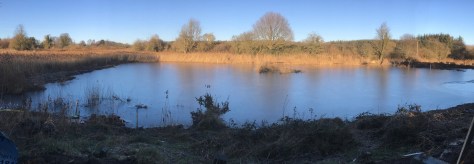
Planning permission was given in March 2017 to convert the land into a nature reserve, with permission given for 3 ponds, a classroom, 3 hides and associated paths. Currently, as of April 2022, we have the classroom in place, three ponds, and three hides.

Due to the COVID situation work did not commence on the larger pond until November 2020 but is now completed.

We have also added a Sand Martin nesting bank and Otter holt in 2022.